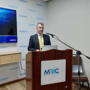
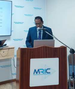
As part of the ongoing efforts under the Mauritius Space Initiative, the Mauritius Research and Innovation Council (MRIC), in collaboration with Airbus, is convening a strategic workshop to explore how satellite data can be better harnessed to support evidence-based decision-making and long-term development planning in Mauritius.
The discussions will centre on the practical use of Earth observation data, its relevance to local institutions, and the types of systems and partnerships needed to build a responsive, data-informed governance ecosystem. This workshop comes at a critical moment as Mauritius accelerates its efforts to integrate space technologies into national priorities across various sectors.
Why Satellite Data Matters for Mauritius
Mauritius, as a Small Island Developing State (SIDS), faces acute challenges in areas such as coastal erosion, maritime security, land degradation, urbanisation, and disaster risk management. Traditional methods of data collection are often resource-intensive, infrequent, or too localised to capture systemic trends.
Satellite imagery and geospatial data provide a powerful alternative—offering real-time, high-resolution, and scalable information that can inform national strategies, monitor change, and improve inter-agency coordination.
Through satellite-based insights, Mauritius can:
- Monitor and manage marine activity, including illegal fishing and oil spills
- Track changes in land use and environmental degradation
- Improve early warning and disaster preparedness
- Assess climate impacts and support resilience planning
- Modernise infrastructure planning and urban development
Towards a Space-Enabled National Strategy
The Mauritius Space Initiative, led by MRIC, is focused on creating a sustainable framework for the integration of space-based data into national systems. The initiative builds on the successful launch of MIR-SAT1, the country’s first nanosatellite, and the emerging recognition that satellite technology is no longer the exclusive domain of large nations.
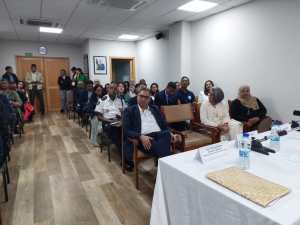
A series of national consultations has revealed strong institutional demand for satellite-derived data across ministries and sectors—from agriculture and fisheries to environment, land transport, and national security. However, capacity gaps remain in terms of data access, technical skills, and inter-agency interoperability.
The workshop aims to bridge that gap by:
- Demonstrating real-world use cases and operational models from Airbus’ global experience
- Identifying data-sharing pathways and public-private collaboration frameworks
- Exploring how Mauritius can institutionalise access to Earth observation data as part of its policy infrastructure
- Supporting skills development and technical capacity among national stakeholders
Laying the Groundwork for Future Collaboration
This dialogue is not only technical but also strategic. Airbus will share its long-standing experience working in Mauritius, including the deployment and support of the Land Administration and Valuation Information Management System (LAVIMS), which has served as a successful model of satellite-enabled digital governance.
The workshop sets the stage for longer-term collaboration, helping Mauritius define the type of satellite services, data pipelines, and institutional partnerships required to become a regional leader in geospatial innovation.
By convening this dialogue, MRIC reaffirms its role as a catalyst in the transformation of Mauritius into a space-capable and data-literate island state, with a vision that positions space as an enabler of smart, inclusive, and resilient development.
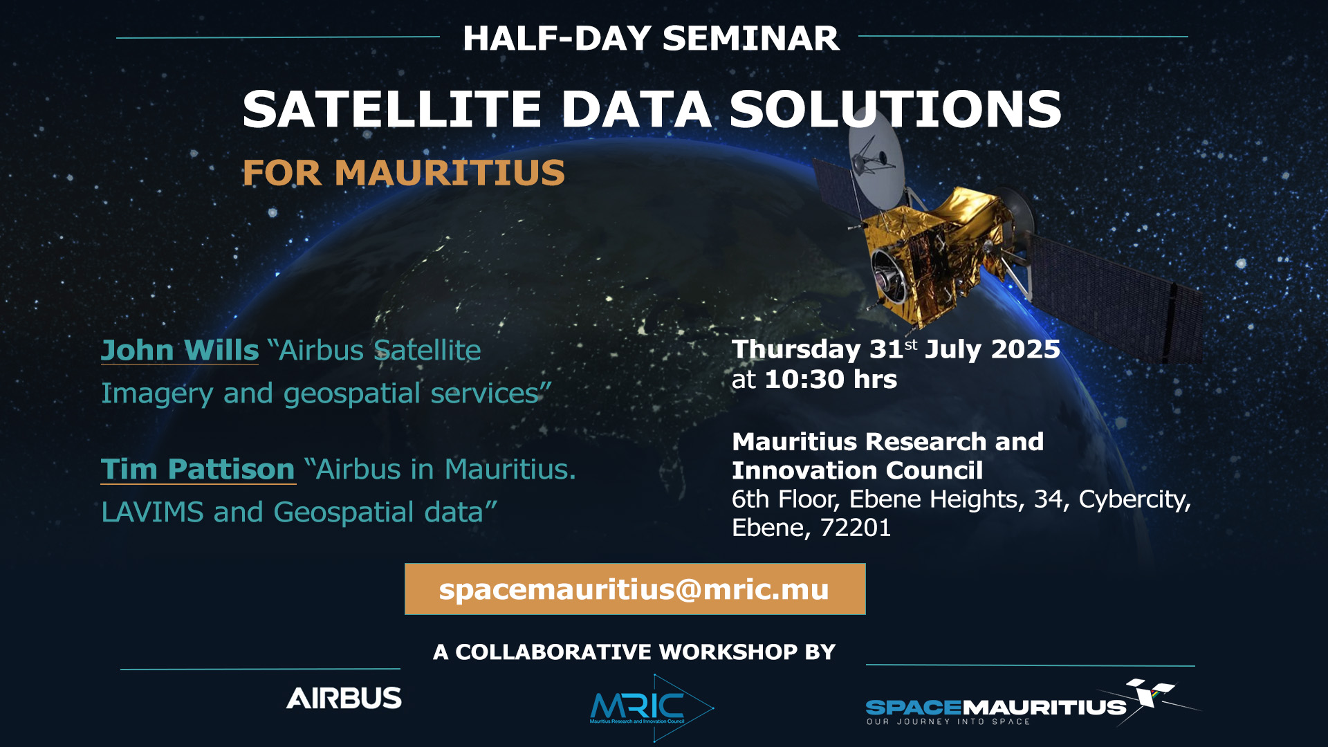
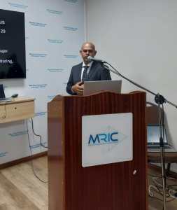
 John Wills – From initial work in the field to academia and over 20 years working in industry, John has a wealth of experience in Earth Observation and the wider Geospatial sectors. John graduated from University of Leicester with a PhD in Environmental Health & GIS and prior to that completed a BSc Honours in Human Ecology at The University of Huddersfield.
 Tim Pattison – Tim has worked in the Geospatial industry for 33 years following Graduation from Leicester University with an MSc in Natural Resource Management. Currently managing the Land Administration and Maritime programme lines in the UK and supporting the development of business within these markets. Tim’s recent work has focussed on delivery of the LAVIMS programme in Mauritius, where Tim was part of the original delivery team, holding the role of Operations Manager based in Mauritius 2010-11. Since returning to the UK, Tim has continued to lead the programme through 14 years of Support and Maintenance as well as multiple stand-alone projects delivering new functionality, new applications and data upgrades. Outside of Mauritius Tim has delivered projects in a number of other African countries and Gulf states.
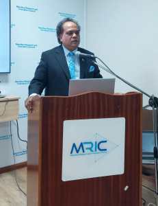